U.S. flag

An official website of the United States government

Data Basin

Overview & Applicability

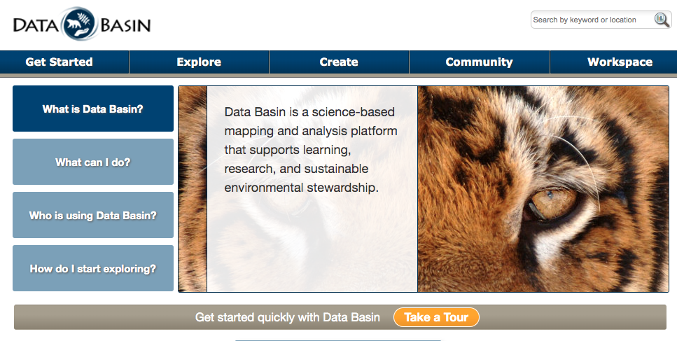
Data Basin is a science-based mapping and analysis platform that supports learning, research, and sustainable environmental stewardship.
  • Explore and organize data & information
  • Create custom visualizations, drawings, & analyses
  • Use collaborative tools in groups
  • Publish datasets, maps, & galleries
  • Develop decision-support and custom tools
Users can find maps and spatial data by using a search feature. Additionally, users can make their own maps and add new datasets to existing maps.

History

A team of scientists, software engineers, and educators at the Conservation Biology Institute (CBI) built Data Basin.

Inputs & outputs

Users can use the search feature to find a map in a certain geographic area or topic. The Data Basin has 14,301 maps available for users. To create a custom map, the user can add datasets to a basemap by searching through the available datasets on the website. There are 30,888 datasets available on the Data Basin. The available datasets can be downloaded and used in desktop GIS software. Most datasets can be overlayed, styled, analyzed, and downloaded. Additionally, there are groups with specific topics and galleries that contain cohesive collections of information.

Restrictions and limitations

In order to contribute data and maps, users must become members and create a free account.

Accessing the tool and additional information

Users are able to easily download datasets and maps as a pdf, png, or as a powerpoint. This tool is user friendly and requires almost no GIS experience. There is a tutorial for how to make a map on the homepage if needed.

Fast Facts

Website

https://databasin.org/

Purpose

Allow users to view and create spatial data and maps.

Format

online

Geography

Worldwide

Scale

variable

Training requirement

No training required

Status

Maintained

Potential Applications

Allows for easy creation of a map from existing spatial data with little GIS experience.